
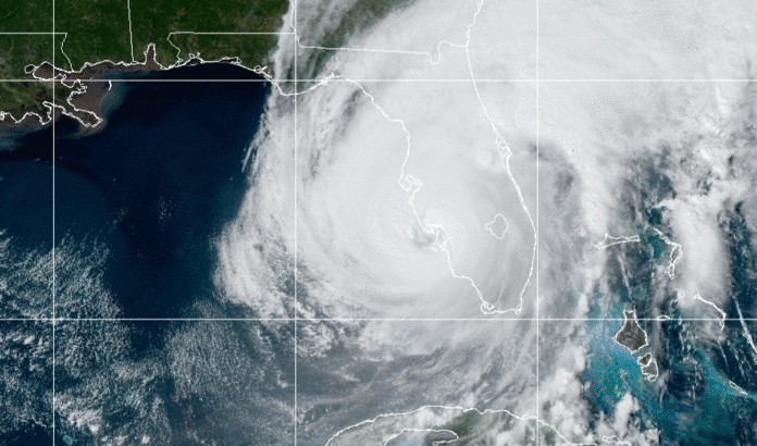


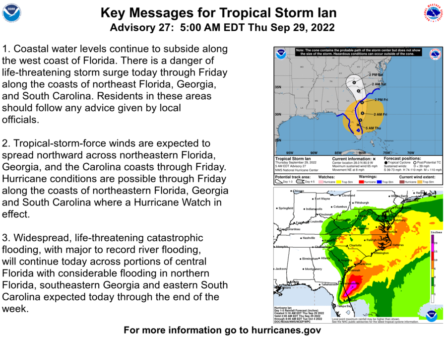
Update: Hurricane Ian was downgraded to a topical storm overnight, but that isn’t making it any less of a problem for Floridians. Heavy rainfall continues to inundate the already-saturated state, causing major flooding and power outages across the state. An estimated 2.5 million residents are without power this morning.
Tropical Storm Ian is expected to slowly make it’s way northeast back out to the Atlantic today, then verging Northwest, making landfall in Georgia or South Carolina Friday afternoon. It remains possible that Ian will regain strength while over the Atlantic.
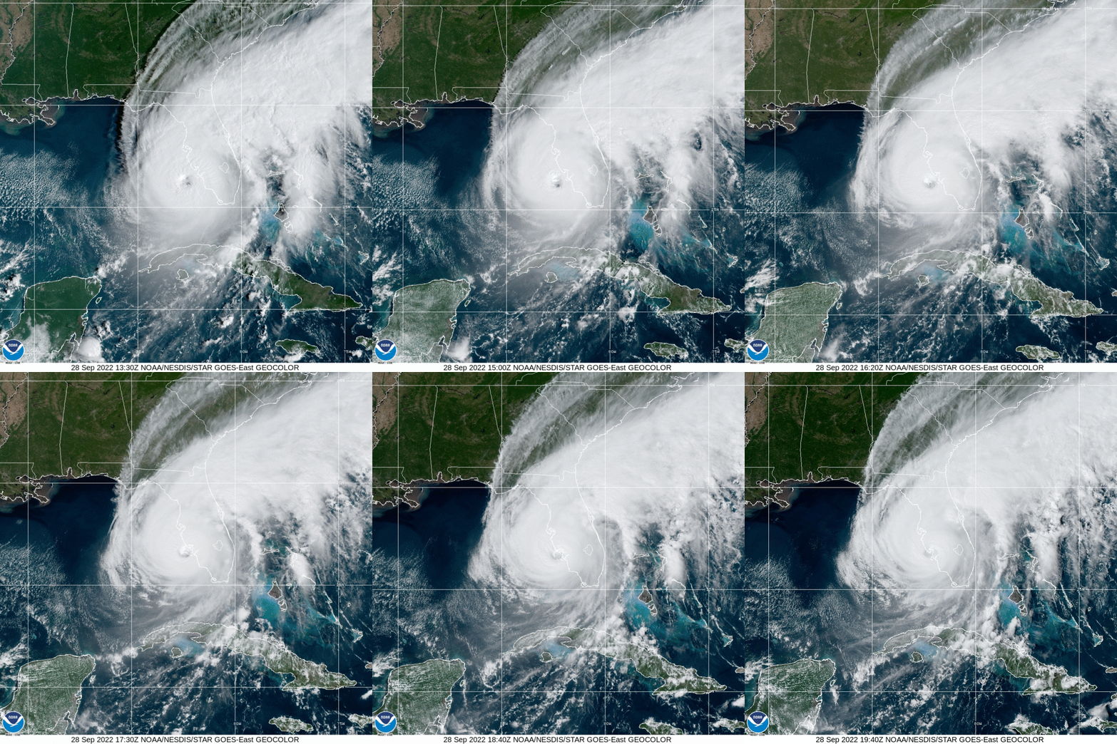
Hurricane Ian made landfall this afternoon as an extremely dangerous Category 4 hurricane near Punta Gorda in Southwest Florida.
At 2:05pm (Central) the eye of Hurricane Ian made landfall near Cayo Costa, Florida as a Category 4 hurricane with maximum sustained winds of 150 mph. A weather station at Tarpin Point in Cape Coral reported sustained winds of 77 mph with a gust up to 118 mph.
Over 1 million people are currently out of power as the storm, which arrived significantly earlier than even forecasts this morning predicted, slams inland.
Ian is now tied with Hurricane Charley in 2004 as the strongest storm to make landfall on the west coast of the Florida Peninsula, according to CNN meteorologist Brandon Miller. Both of those storms hit the coast with 150 mph winds.
The storm surge has also set records for the highest water levels ever observed in several locations, according to Miller.
Water levels are still rising in Ft Myers as of this afternoon, but it is already higher than previous high water marks, with data going back to 1965. Naples water levels were already more than 2 feet higher than ever observed at 1pm, but the gauge stopped reporting data so it is unclear how high it reached, Miller said.