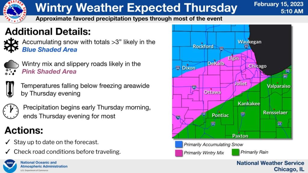
Update: The latest from the National Weather Service is that the nasty weather will begin late Wednesday night into Thursday. Precipitation types will be a mixed bag, with snow, sleet, freezing rain, and rain all likely to occur in the area at times. Prepare for travel impacts (especially in the blue & pink areas on the map).

Looks like the groundhog was right. Apparently the prognosticating rodent saw his shadow a couple of weeks ago, meaning six more weeks of winter. According to the National Weather Service, that begins tonight.
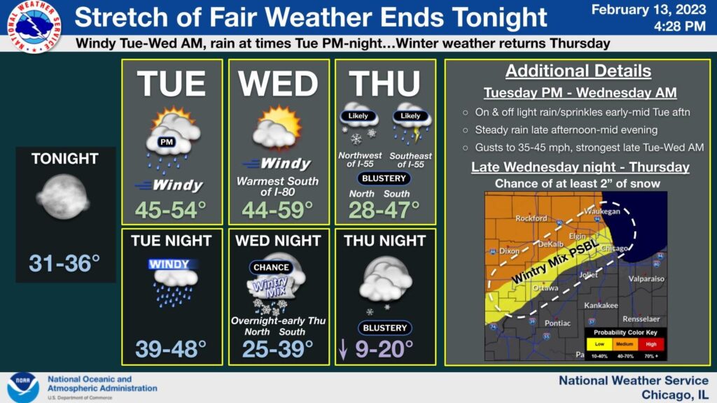
According to the latest forecast, windy and rainy conditions will develop this afternoon and into the evening. Another storm system will move in Wednesday evening through Thursday.

Accumulating snow is most likely north and west of I-55 at this time, with a wintry mix possible just south of the main area of accumulating snow – which, at the moment, means most of Kane County south of Elgin.
Temperatures will drop to between 9-20 degrees F by Thursday evening.
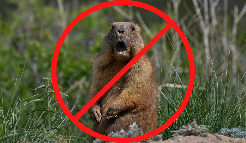
Yet another reason that allowing vermin to forecast our weather is a bad idea.


